CodingTrain / CodingTrain/Suggestion-Box
P5.js 3D Earth with Satellite Data from published work
- Dominant language
- No language data
- Stars
- 570
- Forks
- 85
- PR merge metrics
- No merged PRs in 30d
Description
You've done stuff on API's and this is sort of in the same realm. UCS USA has a data set of 4,550 satellites orbiting earth which you can download here https://www.ucsusa.org/resources/satellite-database
In Excel form it includes among other things positional data
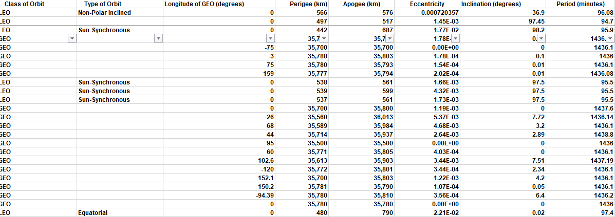
I know it is possible but I am not mathematically inclined to translate the given data above into 3D space.
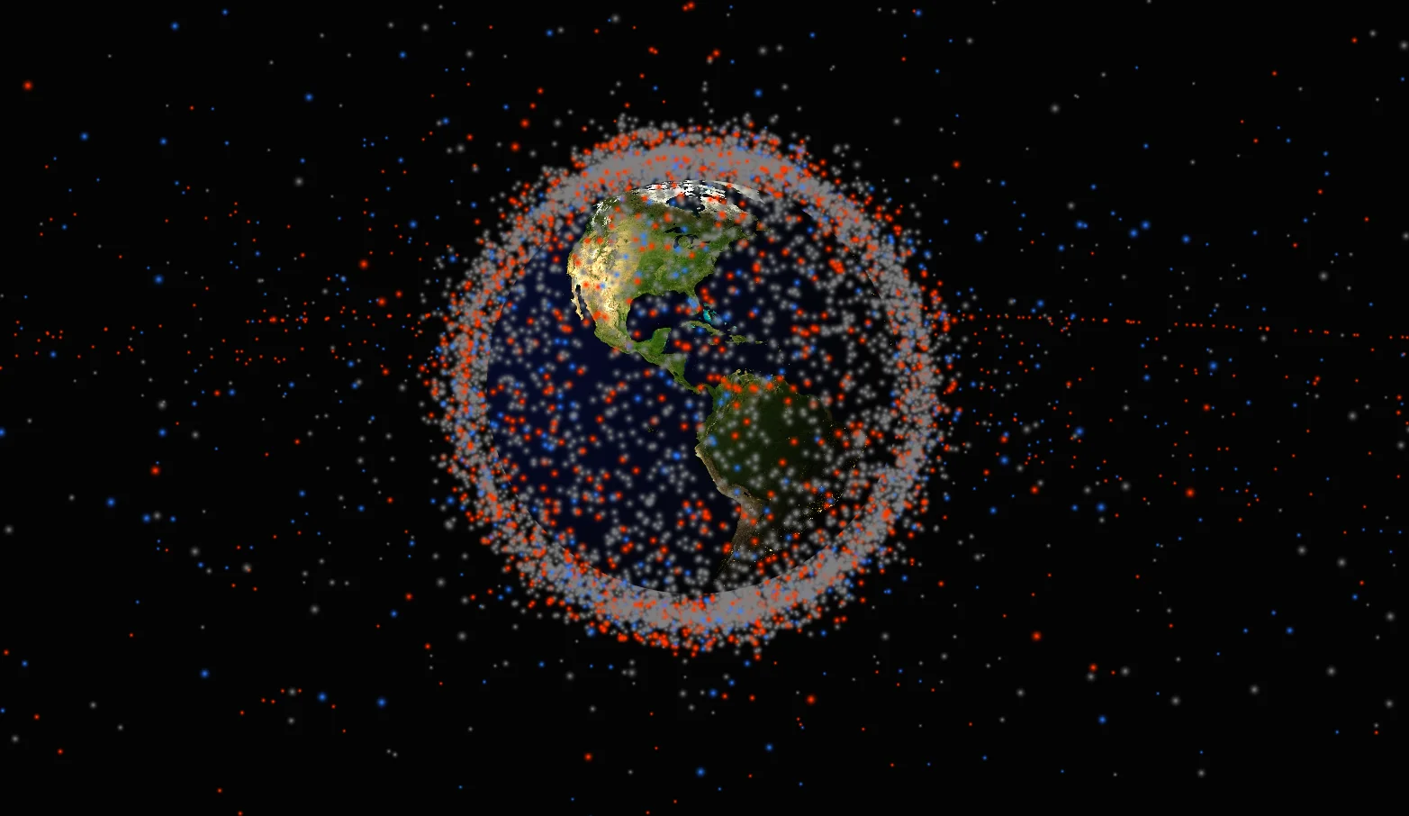
After there is an endless amount of stuff you can do, like animate them moving, being able to select any given one for more details, exc.
Could look something like this
Contributor guide
No contributing guide indexed for this repository
Assessment
This issue has not been assessed yet.