ArduPilot / ArduPilot/MissionPlanner
GeoTagging New Feature: Add Roll, Pitch, Yaw to Exif data
- Dominant language
- C#
- Stars
- 2.4k
- Forks
- 2.9k
- Avg merge
- 19h 16m
- Merged PRs (30d)
- 4
Description
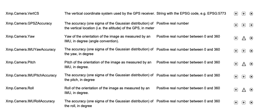
Pix4Dmatic needs pitch, roll and yaw data to be embedded in the exif data for it to be able to work with the pictures.
Information on what is needed is here:
https://support.pix4d.com/hc/en-us/articles/205732309-EXIF-and-XMP-tag-information-read-by-Pix4D
As far as I can tell we already have the pitch, roll and yaw logged into the CSV file so its just a matter of adding it to the exif data just not sure how to do that.
Contributor guide
No contributing guide indexed for this repository
Research direction
The issue names no files, tests, or entry points. Start by tracing where Mission Planner writes the existing pitch, roll, and yaw values to CSV, then locate the image export or metadata-writing path; done means those orientation values are embedded in EXIF data in the format Pix4Dmatic accepts.
Written by the indexing model from the issue text.
Assessment
- Tech stack
- csharp
- Domain
- desktop
- Issue type
- Feature
- Difficulty
- 4/5
- Estimated time
- 3-5 days
- Activity status
- Stale
- Clarity
- Mostly clear
- Newbie friendliness
- 35/100