ArduPilot / ArduPilot/MissionPlanner
Live Map is cluttered
- Dominant language
- C#
- Stars
- 2.4k
- Forks
- 2.9k
- Avg merge
- 19h 16m
- Merged PRs (30d)
- 4
Description
#### Issue details
The live map is filled with too many unimportant lines that very few users need. The most important line is where the vehicle is going (GPS track).
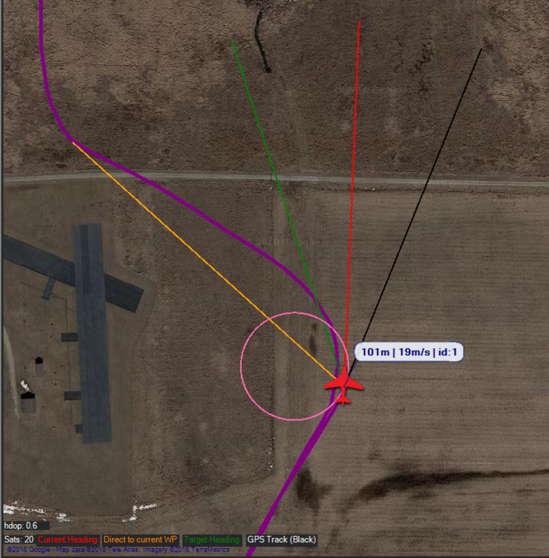
#### Ideas
1. Add a checkbox for turning the lines on/off, and add a line length (and maybe color) options. Line length options could include pixels, ground distance, or time (variable based on ground speed).
2. Remove the "Direct to current waypoint," "current heading," and "target heading" lines by default. They're unimportant on the live map. I do like the fact that the icon is rotated to match the current heading, but having a line coming out in front of it is useless on a map. If that data is needed, it should be accessed via the "DG" on the VFR HUD or on top of the VFR HUD (See #2029). The track is what is most important
3. Remove the pink line and instead, replace it with a curved ground track prediction line. Only curve the line when the GPS track and direct to the next waypoint are separated by more than 30 degrees-ish. Don't let that line make a full circle, and don't let it change at different zoom levels.
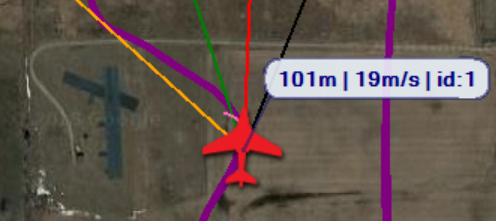
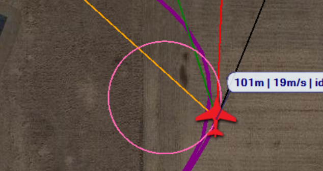
4. Fix the lower left corner of the map. Start by removing the line descriptions. It takes up space and is unimportant - they can be explained in the wiki. They're also unreadable with almost every other theme other than Burnt Kermit.
Move the GPS HDOP and Sats to the VFR HUD. it's more important and logical to put it there with the other GPS information about the type of fix.

#### Platform
[X] All
[ ] AntennaTracker
[ ] Copter
[ ] Plane
[ ] Rover
[ ] Sub
Contributor guide
No contributing guide indexed for this repository
Research direction
No source files, tests, or entry points are named. Start by locating the live-map rendering and VFR HUD components, then compare their current line and status layouts with the screenshots and requested options. Done means the agreed map lines and lower-left information are simplified without losing the GPS track or needed GPS data.
Written by the indexing model from the issue text.
Assessment
- Tech stack
- csharp
- Domain
- desktop
- Issue type
- Feature
- Difficulty
- 5/5
- Estimated time
- Over a week
- Activity status
- Stale
- Clarity
- Mostly clear
- Newbie friendliness
- 25/100